China does not recognize so-called 'Arunachal Pradesh' illegally set up by India, says spokesperson

Beijingwalker

VIP Member
Joined
Nov 4, 2011
Messages
92,798
Reaction score
113,353
Reputation
2,143.3
Country of Origin
Country of Residence

China does not recognize so-called 'Arunachal Pradesh' illegally set up by India, says spokesperson​

Updated 2026.08.10 21:14 GMT+8

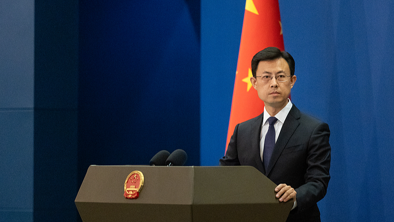
File photo of Chinese Foreign Ministry spokesperson Guo Jiakun. /VCG

File photo of Chinese Foreign Ministry spokesperson Guo Jiakun. /VCG

A Chinese Foreign Ministry spokesperson on Monday said China does not recognize the so-called "Arunachal Pradesh" illegally set up by India.

Spokesperson Guo Jiakun made the remarks when asked to comment on the report that India issued on August 7 the "standard names" of 27 locations in the so-called "Arunachal Pradesh."

"Zangnan region is China's territory," Guo said, adding that India's move of attempting to replace names long used by China with its so-called "standard names" is illegal, null and void. Still less will it change the fact that Zangnan region belongs to China, he noted.

Source(s): Xinhua News Agency
 

Why India’s new Himalayan border map threatens a fragile thaw in China ties​

New Delhi’s list of names for Arunachal Pradesh locations includes sensitive sites near its disputed frontier with China​


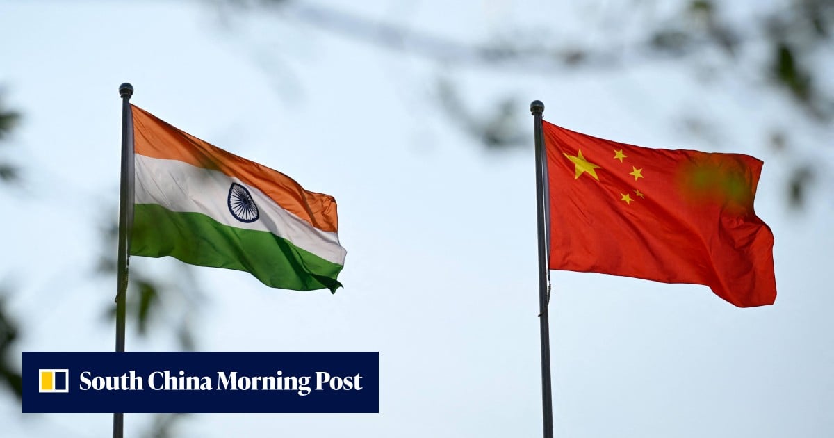
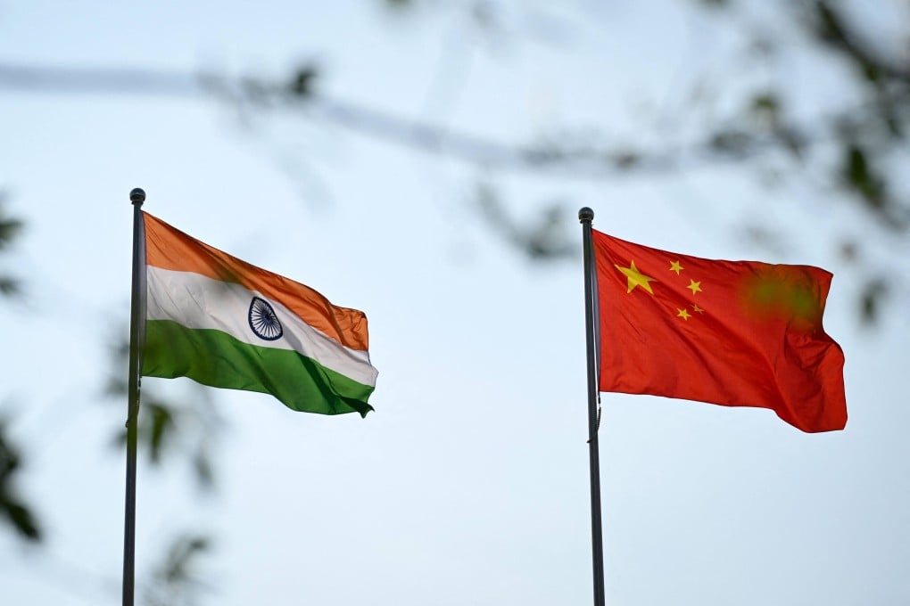
India and China have been trying to sustain a cautious improvement in relations after years of tension along the Himalayan frontier. Photo: AFP

Shi Jiangtao
Published: 6:02pm, 10 Aug 2026Updated: 8:14pm, 10 Aug 2026

New Delhi has issued names for 27 locations in Arunachal Pradesh on its official maps, including sensitive sites near the disputed border with China, in a move that an analyst warned could complicate efforts to repair bilateral ties.

The Indian government announced the move on Friday, just a day after officials from the two countries held a working-level consultation in New Delhi to discuss border management and reaffirm the need for peace along the Line of Actual Control.

Beijing has long referred to the northeastern border state as Zangnan, or southern Tibet.

In a statement, India’s Ministry of Home Affairs said the Survey of India had issued standard names for the locations to ensure “accurate recognition” and improve public awareness of their geographical and historical significance.

The list includes 21 land areas, four mountain passes, a high-altitude lake and a memorial. The names have been added to official Survey of India maps.

Among them are Longju, a village that was the scene of a 1959 border confrontation, as well as the nearby villages of Maja and Bisa and the high-altitude Thag La, the strategic pass where the 1962 border war between India and China erupted.


Users who are viewing this thread

  • Pakistan Defence Latest

    Country Watch Latest

    Back
    Top