Pakistani Roads, Motorways and Highways

Pakistan has approved a $2 bn project to upgrade a 241 km stretch of the KKH, part of CPEC, financed by Chinese loans.

Key points:
• Upgrade covers the Thakot-Raikot section
• Transforms the route into an all-weather highway
• Chinese contractors will manage construction.


1727624325596.png
 
Amazing aerial view of M2 motorway at Rawalpindi terminal.


1729203015877.png
 
Night view metro Rawalpindi city, Punjab,

1729361265269.png
 
Hazara motorway Service Area. ❣️🇵🇰
The M-15 Motorway, also known as the Hazara Motorway, is a 180-kilometer controlled-access motorway in Pakistan


1729981007041.png
 
M-15 Mansehra, Hazara


1730671844380.png
 
Between Islamabad and Haripur


1731253133295.png
 
Koza banda ,Battagram. KP./

1732122158835.png
 

N70 Highway​


To view this content we will need your consent to set third party cookies.
For more detailed information, see our cookies page.
 
Pakistan’s third alternative CPEC route will connect Gilgit-Baltistan with Azad Kashmir and reduce the distance to the Chinese border by 350 kilometers.

The project will connect Shigar, Skardu, and Astore with Muzaffarabad, providing access to Yarkand and China.

The National Highway Authority (NHA) is working on the construction of the Shuntar-Ratu tunnel and various roads under this mega project, which will significantly reduce travel time and distance by connecting Neelum Valley and Astore Valley.

This route will not only promote trade but also prove to be a milestone for tourism and the economy of the northern regions.


1737123918874.png
 
Pakistan has approved a $2 bn project to upgrade a 241 km stretch of the KKH, part of CPEC, financed by Chinese loans.

Key points:
• Upgrade covers the Thakot-Raikot section
• Transforms the route into an all-weather highway
• Chinese contractors will manage construction.


View attachment 68416
Will the KKH be open year round once this improvement is done?

Hope they eventually improve the connection between gilgit and chitral, for the sake of redundancy.
 
There are two major road numbering systems.

N - National Highways
12,131 kilometers (7,538 mi) of roadways organized into various classifications which crisscross the country and provide access to major population centers.

National Highways are not to be confused with provincial highways, which are roads maintained by the respective provinces.

Pakistan's national highways include the famous Grand Trunk Road, Indus Highway, Karakoram Highway and Makran Coastal Highway.

All national highways in Pakistan are pre-fixed with the letter 'N' (for "national") followed by the unique numerical designation of the specific highway (with a hyphen in the middle), e.g. "N-5". Each numerical designation is separated by five numerals, i.e. N-5, N-10, N-15, etc. National Highways are distinct from Strategic Highways, which begin with the prefix 'S' and are controlled and operated by the Ministry of Defence.


M - Motorways ( Fenced )
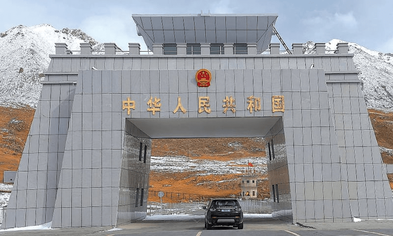
There are 16 Highways numbered. At present, 2567 km of motorways are operational, while an additional 1191 km are under construction. Motorways are a part of Pakistan's “National Trade Corridor Project” and “China-Pakistan Belt Road Initiative,” from Khunjerab Pass near the Chinese border to Gwadar in Balochistan.


1739909979862.png
 

Users who are viewing this thread

Latest Posts

Back
Top