Chinese Missile News

Ever heard of SAR Read this before commenting
Lets say somehow you do that in the day, what will you do at night? SAR wont work because of stealth and the fact that satellite has to move quite a bit to get enough synthetic aperture.
You need to read more carefully :)

Also, if you know how SAR works you wont mention it.

Paired with its existing GEO optical surveillance capabilities, Yaogan-41's increased resolution means that China will be able to more easily identify and track U.S. and allied naval forces in the Indian and Pacific Oceans than it ever could before.
Keyword is "Optical". I hope you know what it means.

Clouds, night, weather are all agains you if you depend upon visible spectrum. Anyone who has spent anytime going through satellite images (or ever google earth) will know, how often the images are useless due to cloud cover.
 
You need to read more carefully :)

Also, if you know how SAR works you wont mention it.


Keyword is "Optical". I hope you know what it means.

Clouds, night, weather are all agains you if you depend upon visible spectrum. Anyone who has spent anytime going through satellite images (or ever google earth) will know, how often the images are useless due to cloud cover.
I guess you didn't read my post China has GEO SAR satellite too that can detect 20 m object and here is AWAC Dimension
What stealth AWAC is a whale you can spot it by miles!:)
The Boeing E-3 Sentry has the following dimensions:
  • Wingspan: 145 ft 9 in (44.42 m)
  • Length: 152 ft 11 in (46.61 m)
  • Height: 41 ft 4 in (12.60 m)
  • Wing area: 3,050 sq ft (283 m2)
 
I guess you didn't read my post China has GEO SAR satellite too that can detect 20 m object and here is AWAC Dimension
Once more, detection is not the issue. Tracking is. How many updates on velocity or position can SAR satellites get? Do you know how SAR works? It enhances the resolution by motion of satellite itself. This means there is a limit to how quickly you can update the position and velocity of the target. And that means they are not usable for tracking. SAR is best utilized for visualising ground and ocean targets.

And given that power of emitter in the satellite is limited, ANY application of RAM coating will render the plane invisible to SAR satellites because SAR satellites are FAR and do not have high powered emitter as ground based satellites have.
 
Over the horizon radars (OTH) are not good enough for tracking the targets. Actually, their detection capabilities are also limited to large maritime targets. This is because the wave length of radar waves used should be low enough that it is reflected by ionosphere. Even if they detect aircraft, they can not track them at low enough distance because of limitations mentioned above.

So no, you can not "add alrgorithms, supercomputer, AI (LOL!)" and suddenly make OTH a fire control radar. No amount of "alrgorithms, supercomputer, AI" can beat physics.
Raytheon is working exactly as I said read this
 
Once more, detection is not the issue. Tracking is. How many updates on velocity or position can SAR satellites get? Do you know how SAR works? It enhances the resolution by motion of satellite itself. This means there is a limit to how quickly you can update the position and velocity of the target. And that means they are not usable for tracking. SAR is best utilized for visualising ground and ocean targets.

And given that power of emitter in the satellite is limited, ANY application of RAM coating will render the plane invisible to SAR satellites because SAR satellites are FAR and do not have high powered emitter as ground based satellites have.
Here what Chat gt said about SAR detecting ships
Certainly! Synthetic Aperture Radar (SAR) satellites are indeed capable of detecting the movement of ships. Let’s explore how this works:

  1. SAR Satellite Imagery:
  2. Ship Detection with SAR:
  3. Challenges and Solutions:
In summary, SAR satellites play a crucial role in maritime surveillance, providing valuable insights into ship activity, even in adverse weather conditions and during nighttime hours.
 
SAR can detect plane movement Here it is
Certainly! Synthetic Aperture Radar (SAR) is a powerful technology that can indeed detect the movement of planes. Let’s explore how SAR works and its capabilities:
  1. How Does Synthetic Aperture Radar Work?
    • SAR creates images using radio waves rather than visible light (as in optical images).
    • Unlike optical cameras, SAR actively illuminates the ground by transmitting pulses of radiofrequency (RF) energy.
    • Key advantages of SAR:
      • All-weather capability: SAR can capture images day or night, even through clouds and smoke.
      • 24-hour availability: It operates continuously, making it ideal for surveillance.
    • SAR systems transmit radio waves with wavelengths ranging from 3 cm to a few meters, falling within the microwave part of the spectrum.
    • The radar antenna receives the return signal (echo) and measures the time it takes to travel back. This process provides information about the target’s distance (ranging) and properties (detection).
  2. Detecting Moving Objects with SAR:
  3. Applications:
    • Defence and security: SAR helps monitor troop movements, track vehicles, and detect ships and aircraft.
    • Environmental monitoring: SAR can identify changes in forests, ice, and land cover.
    • Disaster response: It aids in assessing damage after natural disasters.
    • Agriculture: SAR assists in crop monitoring and soil moisture estimation.
In summary, SAR satellites are indeed capable of detecting the movement of planes, providing critical information for various applications.

Learn more​

1defensebridge.com2capellaspace.com3ursaspace.com4mdpi.com5capellaspace.com6earthdata.nasa.gov+4 mor
 
In summary, SAR satellites play a crucial role in maritime surveillance, providing valuable insights into ship activity, even in adverse weather conditions and during nighttime hours.
Ask ChatGPT if SAR satellites can be used as a replacement of fire control radar in shooting down an air plane.
 
It said they working on OVH radar with IMPROVED FIDELITY Capici!
FIDELITY is not same as tracking. Tracking means high resolution and very low latency in spatial and temporal domain. So no.
 
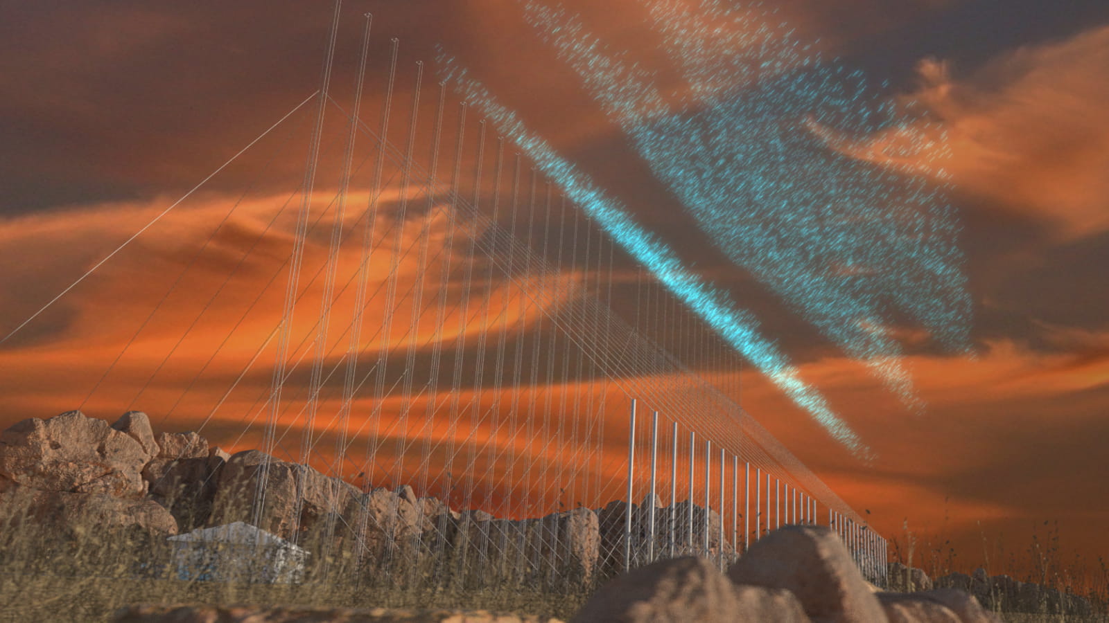
Well ever heard of over-the-horizon radar? With new algorithms, AI, and Supercomputer processing, The fidelity of OH radar improves considerably. Then you can add satellite or high-altitude HALE to confirm it


Over-the-Horizon radar (OTHR) uses ionospheric reflection to propagate HF transmissions to long range (~ 500 to 5000 km). The ionosphere is a dynamic “mirror” that varies diurnally, seasonally, and with the solar cycle. Geolocation of targets observed by OTHR, (Coordinate Registration; CR), requires accurate real-time ionospheric modeling and HF propagation calculations to convert radar-measured target signal delays and beam steers to geographical position.

Our team at NWRA is the developer of what is arguably the most sophisticated CR capability currently in existence, CREDO (Coordinate Registration Enhancement by Dynamic Optimization). CREDO uses OTHR vertical and oblique backscatter soundings to model the ionosphere by applying Tikhonov’s methodology for solving ill-posed problems (extended to multidimensional nonlinear inverse problems and optimized for fast numerical solution). This produces the smoothest ionosphere that agrees with input data within measurement error. More recently we developed a Tikhonov-based ionospheric data assimilation capability called GPSII (GPS Ionospheric Inversion; pronounced “gypsy”). GPSII is capable of ingesting data from GPS and LEO satellite beacons, in situ electron density (e.g., DMSP or CHAMP satellites), JASON altimeter, DORIS, and vertical incidence sounders. We propose to merge the CREDO and GPSII capabilities into a state-of-the-art OTHR CR capability and demonstrate resulting metric accuracy improvement. BENEFIT: The incorporation of additional ionospheric data beyond conventional OTHR vertical and oblique backscatter soundings is expected to improve the fidelity of real-time ionosphere models, resulting in improved OTHR Coordinate Registration metric accuracy. The Next Generation OTH Radar (NGOTHR) is expected to have the additional benefit of elevation information in its backscatter soundings, and this can be incorporated in our solution method for additional fidelity. Furthermore, because GPSII uses a non-radar-centric coordinate system, a single self-consistent ionosphere model can be developed for multiple OTH radars in the same region. This will result in consistent CR of targets in overlapping coverage areas and ensure smooth track continuity as targets move from one radar’s coverage to another. Improved CR metric accuracy will enhance the applicability of OTHR as a wide area surveillance asset for Air Force and Homeland Security applications with dramatic cost savings over alternative microwave radar solutions.
Over the horizon radars is not for tracking ships, its only for space detection and ICBMs warheads detection, do research before you post crap
 
Certainly! Synthetic Aperture Radar (SAR) satellites are indeed capable of detecting the movement of ships. Let’s explore how this works:
Movement of ships and movement of planes. Also motion detection is not same as tracking. Tracking means fast updation of highly accurate position and velocity data.
 
Ask ChatGPT if SAR satellites can be used as a replacement of fire control radar in shooting down an air plane.
Can't you read it says the satellite can TRACK the object It then sends the coordinate to the control center or directly to the missile Besides China also has HALE UAV like WZ & with a range of 2000 km. Once it is identified by OVH radar they can send Hale UAv to detect the AWAC
 
Movement of ships and movement of planes. Also motion detection is not same as tracking. Tracking means fast updation of highly accurate position and velocity data.
It said it can TRACK the object read it !
 
It said it can TRACK the object read it !
Which "object"?

You are showing me "tracking of ships". And that too AIRCRAFT CARRIERS. LOL! You claim that just because you can track 330 meters long aircraft carrier moving at 60 KM per hour at max from space, you can do so with a plane which is one tenth of the length and moves at 15 times the speed?

Come on!
 
Last edited:

Users who are viewing this thread

Latest Posts

Back
Top